
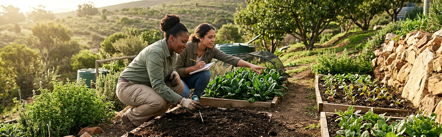
Two beds, ten metres apart, can behave like different regions
One bed grows sturdy leafy vegetables while another, planted on the same day, stays small and stressed. The struggling bed is beside a reflective wall, catches an afternoon wind and sits where stormwater crosses the site. The successful bed receives gentler morning sun, is sheltered without being airless and drains without drying immediately. The difference is not a better packet of seed. It is microclimate.
A microclimate is the set of local conditions around a particular part of the site. Buildings, trees, walls, paving, slope, soil moisture and wind can make that area warmer, colder, wetter, drier or more exposed than a nearby weather station suggests. Reading those patterns before planting is one of the least expensive design steps available.
The goal is not to find a perfect patch. It is to identify zones and use each appropriately, while recognising that one day's observations are only a starting point. For site-specific design and implementation, explore sustainable food-garden design.
The five signals to read
Sun and shade
Record direct sun rather than labelling the whole area sunny. Morning and late-afternoon light differ from intense midday exposure, and winter shadows can extend far beyond summer shadows. Vegetable requirements differ by crop and season, so use crop-specific local guidance after mapping the site.
Wind
Wind increases moisture loss, damages leaves, moves light mulch and can distort sprinkler coverage. Look for channelled wind between structures and signs such as plants leaning in one direction. A windbreak must be designed carefully: a solid barrier can create turbulence, while a dense planting can add shade, root competition or fire risk.
Slope and water movement
Even a modest slope influences runoff, erosion, irrigation pressure and ease of access. Identify high points, low points and where water enters from roofs, paving or neighbouring land. Significant erosion, unstable ground or a watercourse needs appropriate professional and regulatory consideration.
Cold and heat pockets
Cold air tends to settle in low, enclosed areas, which can worsen frost exposure. North-facing masonry and paving may store and reflect heat. These patterns change with season and weather. Use South African Weather Service warnings for current hazards and treat your map as a local layer, not a forecast.
Moisture and drainage
Persistent green patches, moss, cracks, crusts and sediment lines can reveal water behaviour. Check again after rain. A dry surface does not prove the root zone is dry, and ponding does not automatically mean clay texture; compaction, a buried layer or incoming runoff may be involved.
For the next practical decision, continue with complete food garden site assessment.
For the next practical decision, continue with protect a food garden from frost, heat and hail.
For the next practical decision, continue with design drought-resilient food gardens.
Common microclimates and useful questions
<p><em>An opportunity becomes useful only after its main risk is checked.</em></p>
| Observed zone | Possible opportunity | Risk to check before planting |
|---|---|---|
| Sunny, sheltered area | Main annual vegetable beds | Excess heat, stagnant air or limited water access |
| Morning sun, afternoon shade | Some leafy crops, seedling hardening or heat-sensitive tasks | Too little seasonal light for the intended crop |
| Warm wall or paved edge | Protected nursery work or warm-season use | Reflected heat, rapid drying and contaminated runoff |
| Low, cool pocket | Moisture-tolerant use if drainage is sound | Frost, waterlogging and disease-conducive humidity |
| Exposed boundary | Potential wind-filter planting or robust crops | Wind damage, theft, spray drift or animal access |
| Gentle slope | Contour-aware beds or managed drainage | Runoff, erosion, uneven irrigation and unsafe paths |
A one-day observation walk
- 01
Prepare a base map
Sketch boundaries, buildings, large trees, taps, tanks, paving, gates, visible services and north. Mark the date, season and weather.
- 02
Walk shortly after sunrise
Mark early shade, damp areas, cold pockets, dew patterns and the direction of any noticeable wind. Photograph from fixed points.
- 03
Return near midday
Record direct sun, reflected heat, shade movement and which surfaces feel unusually hot. Do not infer soil moisture by touch at the surface alone.
- 04
Check in late afternoon
Map the strongest heat and wind exposure, new shade and the likely comfort of people working in each zone.
- 05
Trace water
After rain, or using existing reliable observations, mark ponding, erosion, roof discharge and off-site inflow. Do not deliberately flood uncertain ground.
- 06
Ask site users
People who work there may know where frost settles, taps fail or summer storms cross the property. Seek consent before recording names, stories or community knowledge.
- 07
Rank candidate zones
Compare light, exposure, soil, water route, access and maintenance. Mark what needs another season, a test or professional input.
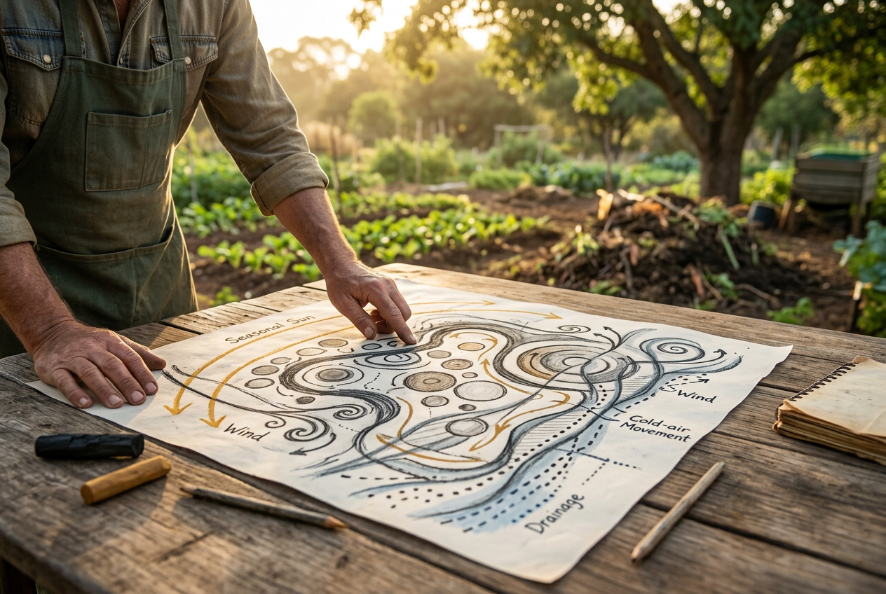
Before placing a permanent bed
- Observe direct sun at more than one time of day and consider seasonal shadow change.
- Check where wind enters, accelerates and leaves the site.
- Map slope, runoff, ponding and erosion after a real rain event where possible.
- Identify hot walls, cold pockets and hard surfaces that change local temperature.
- Confirm the route and capacity of water delivery.
- Leave practical access for people, compost, tools and repairs.
- Escalate unstable slopes, major drainage, contamination, watercourse or service concerns.
- Start with a reversible pilot when seasonal uncertainty remains.
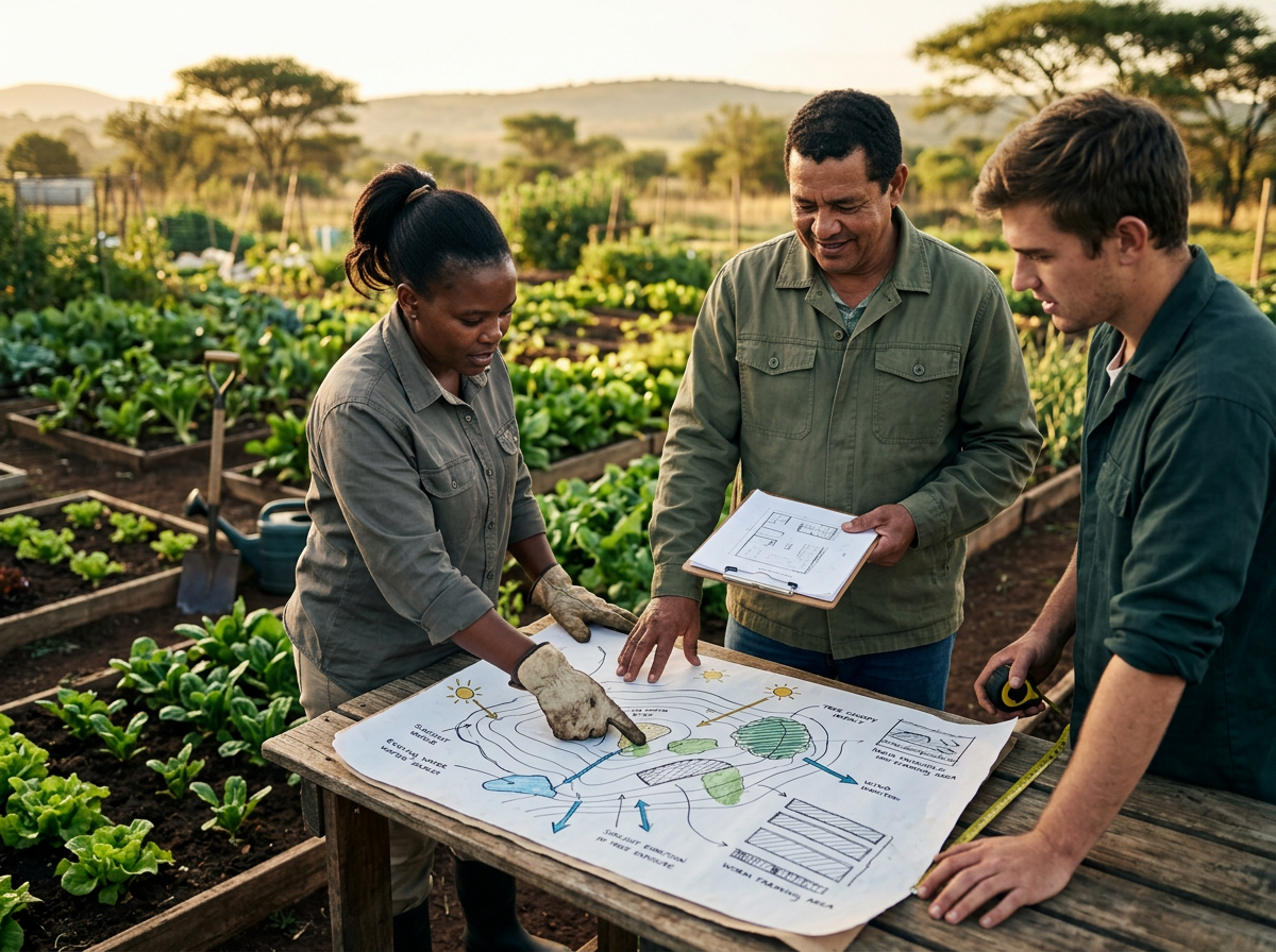
Map the site before fixing the layout
Green Earth Concepts can assess sunlight, shade, slope, drainage, wind, soil, water access and maintenance needs as part of a complete growing-system plan. This helps place beds and irrigation where they make sense for the site rather than where space first appears available.
Use microclimates instead of fighting them
- Microclimates can change over a few metres and through the year.
- A one-day walk is a first layer; winter shade, summer heat and storm drainage may require repeat observation.
- Windbreaks, shade and drainage changes have trade-offs and should not be copied blindly.
- Match each zone to suitable crops, infrastructure and work routines rather than forcing one layout across the property.
- Keep the map and fixed-point photographs so later crop performance can be compared with the original observations.
Observation is a design tool
The easiest place to draw a bed is not always the easiest place to grow and maintain crops. A few structured walks can reveal why one corner stays wet, another overheats and a third is exposed to wind or frost.
Use those findings to create zones, not verdicts. Verify conditions that change with season, select crops with appropriate local guidance and test uncertain ideas at a manageable scale. The site is already giving information; good design begins by recording it clearly. Keep one dated map on site so every new observation strengthens the next planting decision instead of disappearing into memory.